1. Photogrammetric Services
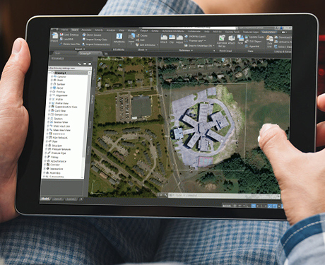
Photogrammetry is the process of deriving metric information about an object through measurement made on the photograph of the object. Photogrammetry is the science of making measurements from photographs. Photogrammetry means the measuring of features on a photograph.
- Update site features from Aerial Image
- Highway corridor Mapping
- DEM collection
2. Orthophoto Production
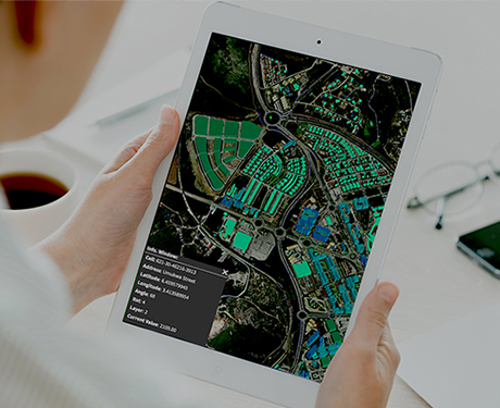
Orthophotographs are commonly used in geographic information systems (GIS) as a "map accurate" background image. An orthorectified image differs from "rubber sheeted" rectifications as the latter may accurately locate a number of points on each image but "stretch" the area between so scale may not be uniform across the image.
- Update Orthophoto in case of drastic change of existing condition
- Rectifying every frame to ensure full coverage of an area.

3. Topographic Mapping
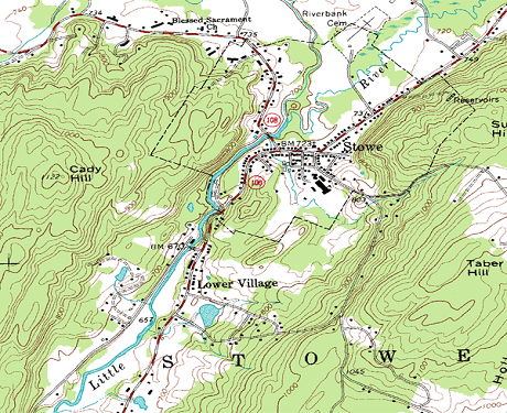
Topographic maps are a detailed record of a land area, giving geographic positions and elevations for both natural and man-made features. They show the shape of the land the mountains, valleys, and plains by means of brown contour lines.
- To generate topographic map
- Locating man-made & natural features
- Detailing of MEP components
4. Planimetric and LIDAR Mapping
Planimetric feature extraction involves the creation of maps that show only the horizontal position of features on the Earths’ surface, revealing geographic objects, natural and cultural physical features, and entities without topographic properties.
- Point cloud screening
- DTM processing
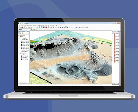
5. Terrain Modeling Services
A Digital Terrain Model (DTM) is a DEM in which terrain data has been further enhanced with breaklines, creating greater accuracy as it contains additional information defining terrain in areas where Lidar data alone is unable to do the job effectively.
- Cut fill calculations
- Storm management
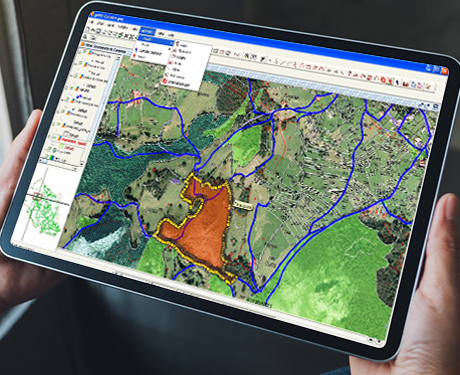
6. GIS Surveying
A geographic information system (GIS) is a conceptualized framework that provides the ability to capture and analyze spatial and geographic data. GIS applications (or GIS apps) are computer-based tools that allow the user to create interactive queries (user-created searches), store and edit spatial and non-spatial data, analyze spatial information output, and visually share the results of these operations by presenting them as maps.
- Creation of Base map
- GIS Utility Survey